Google Earth! Fun and practical. This week I revisited a previous map to practice importing data into Google Earth. Both maps made in ArcMap and individual vector shape files can be converted into KML files (using tools in the Conversion section of ArcToolbox) for use in any client that can read this file type. For this lab, we used Google Earth but there are other options such as ArcGlobe. It is possible to edit some of the features of your imported data. Color, style, and the altitude of your data can all be modified. Some features, however, cannot be altered. The legend imported with map data is unalterable. Only its position can be customized.
You can also create a tour of various locations using the Google Earth's 'Record a Tour' tool and I did just that for certain locations in South Florida. Below I included two screenshots from my adventures in Google Earth. The first is a view of downtown Tampa which is rife with 3D imagery. Other locations in South Florida do not possess nearly as much 3D information. The second screenshot is a picture of my dot map displayed over a 3D view of South Florida.
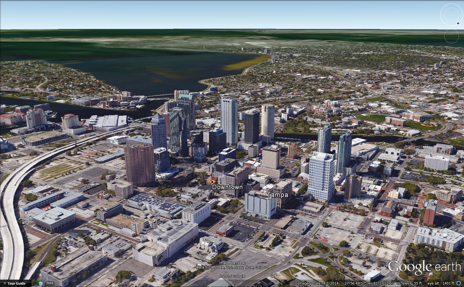 |
| A view of downtown Tampa as seen in the tour I created using Google Earth. |
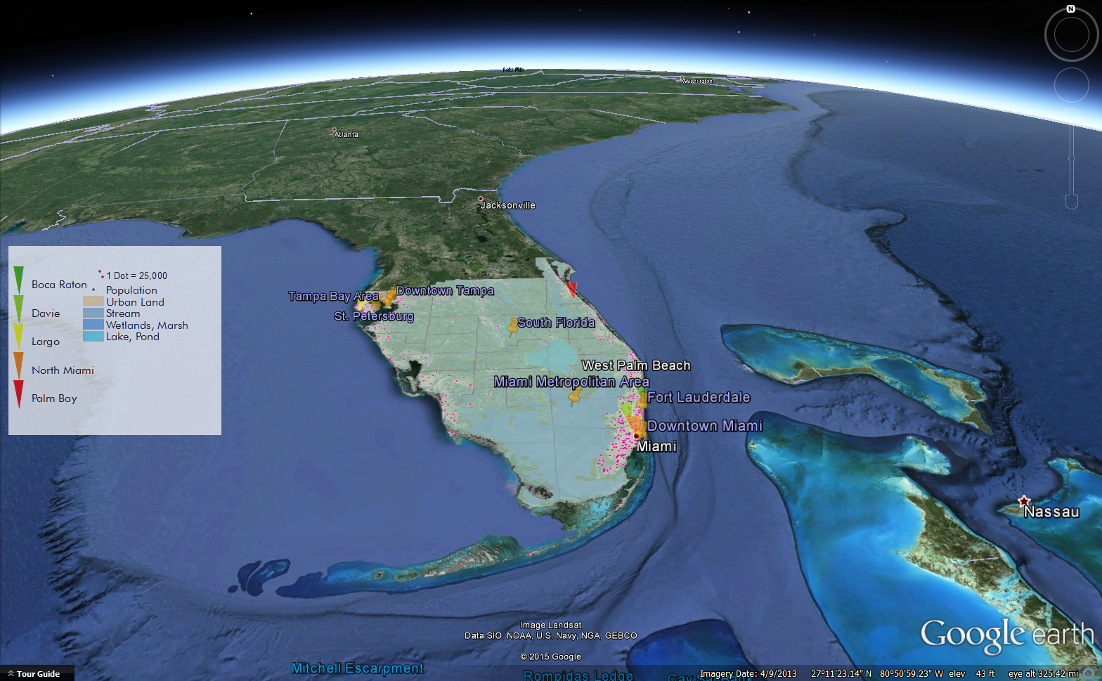 |
| My dot map from Module 10 (converted to a KML file via ArcMap) displayed on top of a 3D view of South Florida. |
No comments:
Post a Comment